


Mount Mulayit
Mount Mulayit, located in Kayin State (Karen State) of Myanmar, is a stunning and often overlooked destination for trekking enthusiasts and nature lovers. Standing at an elevation of approximately 2,042 meters (6,700 feet), it is the highest peak in the southeastern part of the country and offers breathtaking views of the surrounding landscapes.
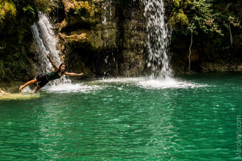
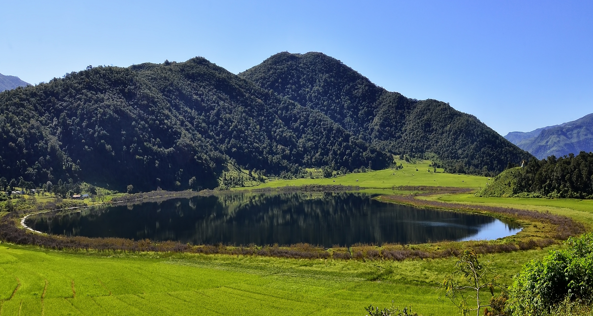
Mount Mulayit is part of the Dawna Range, which stretches along the border between Myanmar and Thailand. The mountain is known for its diverse flora and fauna, including rare species of plants and wildlife. The area is characterized by lush green forests, rolling hills, and clear streams, making it a picturesque setting for outdoor activities.
The trek to the summit of Mount Mulayit is a popular activity for both local and foreign hikers. The journey typically takes one to two days, depending on the chosen route and the hiker's pace. The trails vary in difficulty, offering something for everyone, from novice hikers to experienced trekkers.
The best time to visit Mount Mulayit is during the dry season, from November to April, when the weather is cooler and more conducive to trekking. During this time, the trails are less muddy, and visibility from the summit is typically better.
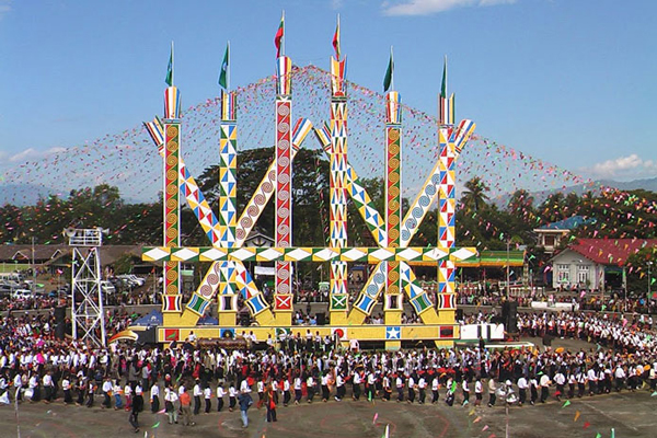
The area surrounding Mount Mulayit is home to various ethnic groups, including the Karen people. The rich cultural heritage of these communities is evident in their traditional customs, clothing, and festivals. Hikers often have the opportunity to interact with locals, learn about their way of life, and experience their hospitality.