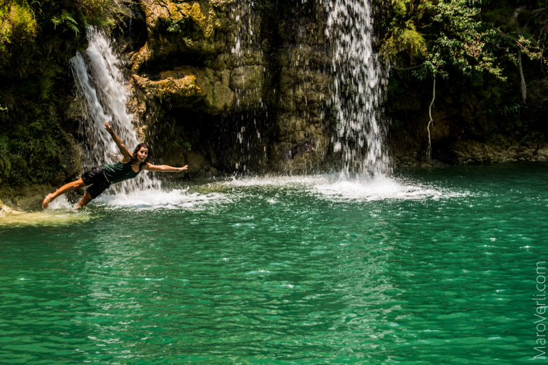
Welcome to Bungtla waterfall
Explore the Diversity of States and Regions
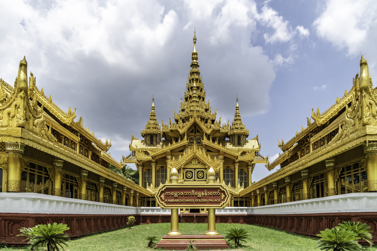
In Burma

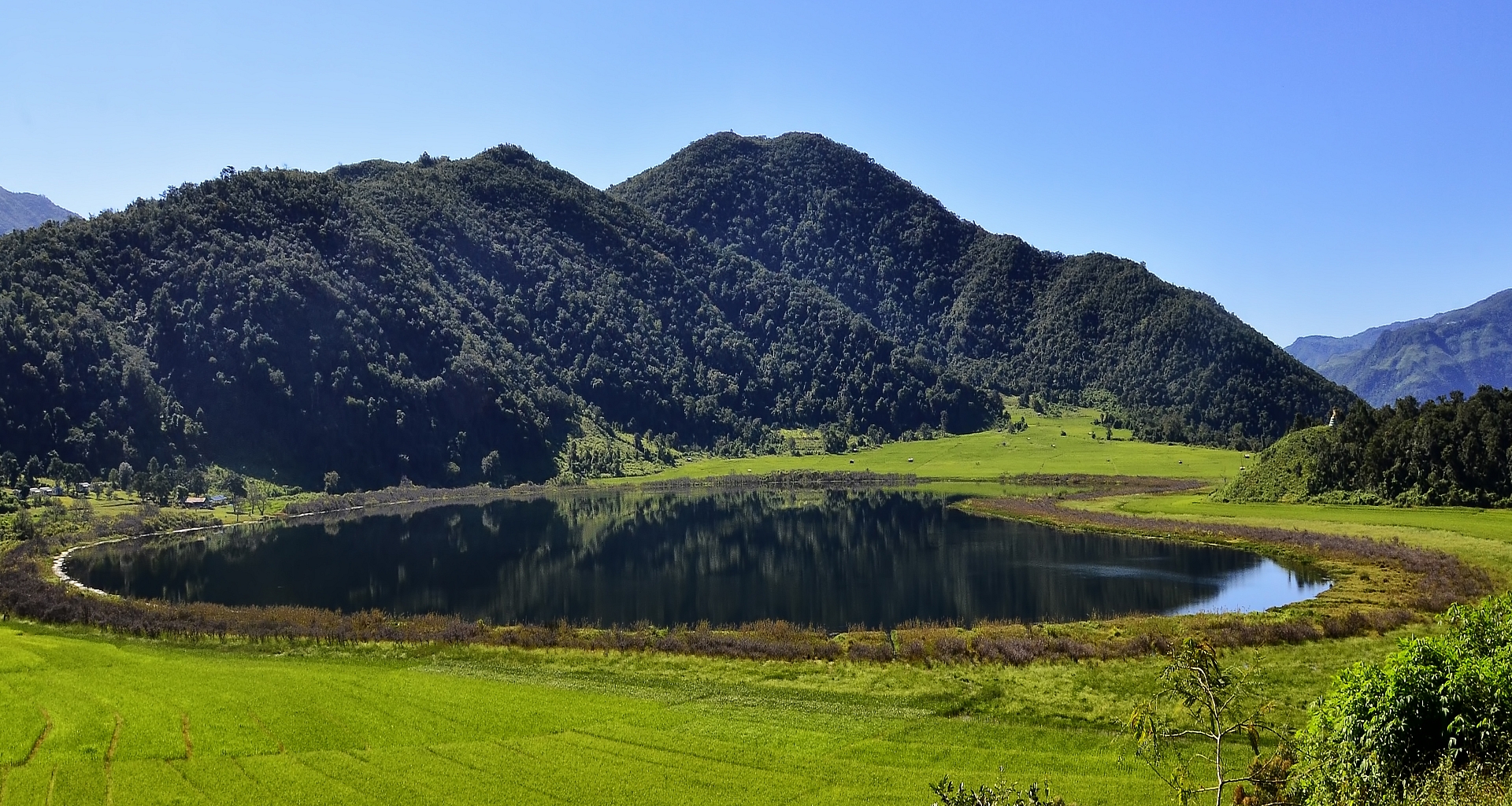


Chin State
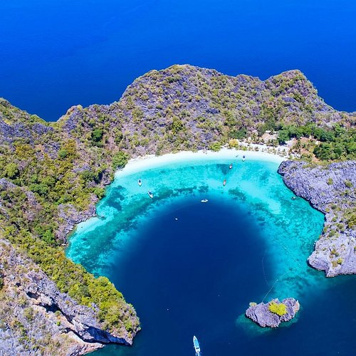
Chin State is one of the mountainous regions in Myanmar. It is 36,019 square kilometers and is bordered by Sagaing Region and Magway Region to the east, Rakhine State to the South, Bangladesh to the South-West, and the Indian States of Mizoram to the West and Manipur to the North. “In Chin state, you can find a heart-shaped lake between the mountains called Rih Lake. It looks Heart shaped when we look at it from the top of the mountain”. The lake is surrounded by willow trees and has an interesting history too.
Bungtla Waterfall
Bungtla waterfall is the highest waterfall in Chin State. It is 26 km away from Matupi Town. It is a nine-tier waterfall with the height of 457 m. Even though Bungtla is in nine levels, only 5 levels are available to reach. It can be reached by car from Hakha, Mindat and Sami towns.
The Bontala Waterfall in the forests of Chin State's Matupi offers an amazing vacation for holiday makers.The waterfall has become popular among local and foreign trav-elers due to its promotion in the media.The fragrance of pine trees floating in the air of Matupi, walking on the pebbles around the waterfall, along with monkeys, birds and wildlife in the forests, are attracting a wide range of visitors.With seven falls, the Bontalar waterfall offers an impressive sight in a very scenic location. Each waterfall is about 60 ft high.The name Bontalar comes from the local Matu ethnic language “Bung Tla”. It means flowing neat and tidy.
Road access to the falls has improved, and travelers need to walk about three miles from Matupi to reach the falls.Previously, vacationers had to walk for some 15 miles to visit the waterfalls, while camping nearby for one or two days. Since 2013, the road has reached a point three miles from the waterfall.